History
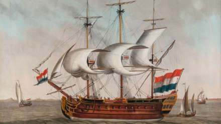
The Hollandia was a Dutch East Indiaman that sailed for the Dutch East India Company (VOC). It was the sister ship of the VOC ship Amsterdam, built in 1748. She was meant to sail between the Netherlands and the Dutch East Indies, however, she was wrecked on her maiden voyage. The Hollandia left the Dutch island of Texel, bound for Batavia, on 3 July 1743, carrying a cargo of mostly silver valued at around 129,700 guilders. She also carried an unknown number of passengers, including the brother and family of the newly appointed governor-general of Batavia Van Imhoff.
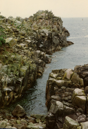
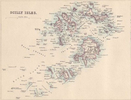
On 13 July 1743, the Hollandia ran aground on Gunner Rock, at the southwest side of the Isles of Scilly near Annet Island. She was sailing too close to shore, possibly due to foggy weather and poor visibility, and instead of sailing south towards the English Channel, she sailed north, putting her on a collision course with the Isles of Scilly. With the bottom of the ship stuck on Gunner Rock, the crew attempted to alert those on shore to the emergency through a salute of cannon fire, but the Hollandia was too far out to sea for a rescue operation, and all those on board perished.

Description
Yard: VOC yard Amsterdam
Tonnage: 1150 tons/ 575 last

| Skipper | Jan Kelder |
|---|---|
| People on board | 276 |
| Length | 150 Amsterdam feet (42.5 m) |
Status
The site of the wreck of the Hollandia was surveyed and excavated after the initial discovery in 1971 by Rex Cowan, a famous (or notorious) treasure hunter. The first survey of the main site was done in the winter of 1971 and spring of 1972 by Roy Graham and Nowel Pearce. The site was not easy to excavate due to its depth of around 28 metres, as well as the exposure to swells and strong tidal currents. The wreck itself was in a very deteriorated condition, and none of the timber structures of the ship survived. Only those artefacts lying in sand and gullies of the seabed were in fairly good shape. Most items were found at the main site, although there were a lot of scattered artefacts on the northern and southern parts of the site. These artefacts were scattered after the wrecking due to the swell and tidal currents. Because the wreck was not salvaged for her cargo, the site of the Hollandia provided researchers with a very complete research site of a Dutch East Indiaman.
Artefacts
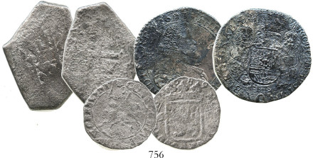
Among the artifacts found were anchors, iron and bronze cannons, bronze breech loading guns, bronze and copper fittings, lead ingots, and a mount containing 35,000 silver coins. Yellow bricks were also found at the site, which is often one of the first indications that a wreck was a VOC ship.
These bricks were often used for ballast on outgoing voyages and were traded for goods in the Indies, where they were used in construction. It is still possible in cities in the former Dutch East Indies to see buildings that were built with these bricks. The coins were auctioned in 1972 and other items were auctioned by Sotheby's in 1975.
The wreck of the Hollandia is protected under the Protection of Wrecks Act.

Example of coins from the Hollandia wreck from and auction catalogue. See www.numisbids.com.

References
- Dutch-Asiatic Shipping.
Details of voyage 3275.1 from Texel. - Historic England Research Records.
- Cowan, R., Cowan, Z. and Marsden, P. (1975).
The Dutch East Indiaman Hollandia wrecked on the Isles of Scilly in 1743.
International Journal of Nautical Archaeology, 4.2.
pp 267-300.